2020-21
Story of Stockport: Data mapping Stockport
GIS platform exploration with Stockport Borough Council Place directorate and Business Intelligence Unit
£36,000
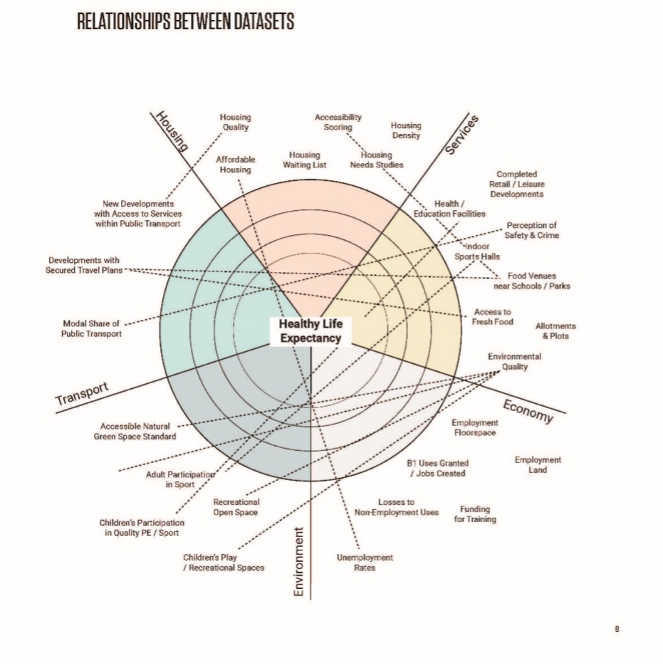
This project explored the use of data analysis and representation to understand the spatial implications of structural discrimination across Stockport Borough. Using existing data held by SBC and the Tapestry data visualisation software this project applied data visualisation and spatialisation approaches developed in earlier Age Friendly and Ageing in Place projects as well as the larger scale Data Mining Cornwall project.
The project involved Dr Richard Morton being embedded one day a week within the Business Intelligence Team. The visualisations address the scale of the borough as a whole and delve down to neighbourhood and amenity level exploring the spatial experiences of different groups of older people using neighbourhood comparisons. This work fed into the Rightplace project methodologies and mapping approaches for the Ageing in Place Pathfinder.